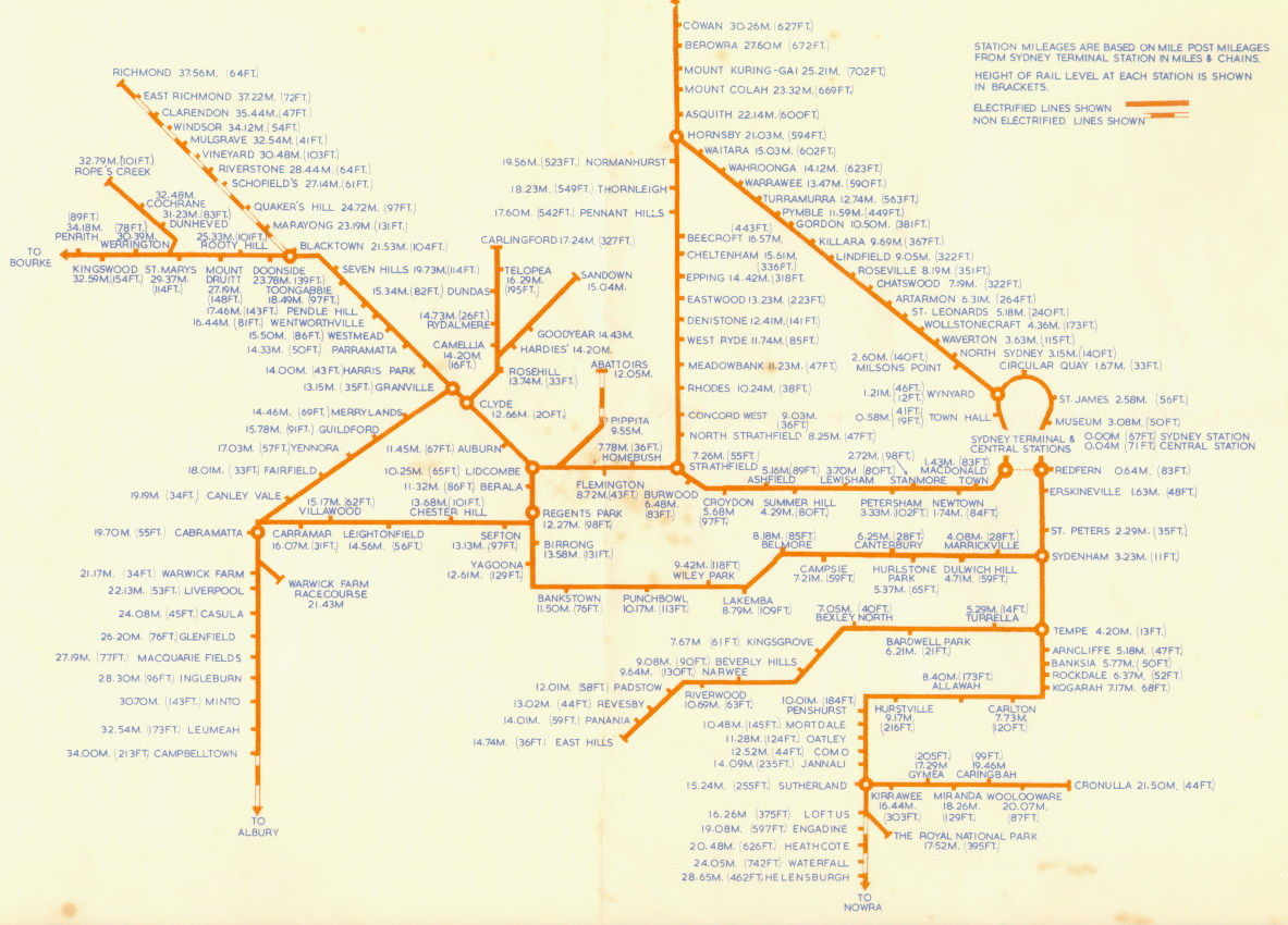
Planned NSW Railway Lines
There were a large number of lines which were planned for NSW, but never built. Some never made it past the survey stage, some were authorised for construction but never built, and some were abandoned during construction.
The following lines were authorised by an Act of legislation, but never completed:
Cobar - Wilcannia
Cobar to Wilcannia Railway Act 1902 No 85:
Cobar to Wilcannia Railway. This line is an extension of the Nyngan to Cobar railway, and beginning at four hundred and fifty-nine miles thirty-six decimal sixty chains from Sydney proceeds in a generally west by south direction between the parishes of Balahand Amphitheatre, and through Gidgie, Springfield, Bluff, Cuckaroo, and passing south of Broekmetta Lake, and close to Rock Tank; after crossing Bulla Range, the line runs northwards down Cookermilerie Creek, and again westerly through the parishes of Wooree, Moama, to Moama out-station; thence west by south through the parishes of Yoree, Neelyah, and Weatherley, and along the southern boundaries of Goonalgaa, and Calcoo, through Gunyulka to travelling stock reserve number three hundred and twenty-one; the line then follows this north north-westerly to the east bank of Darling River, where it ends at about one mile forty-eight chains from the western boundary of reserve five hundred and eighty-seven in the township of Wilcannia, measured back along the staked line, being a total length of about one hundred and sixty-three miles seventy-two chains, and subject to such deviations and modifications as may be considered desirable by the Constructing Authority.
Estimated cost: £543,527
Coonabarabran - Burren Junction
Coonabarabran to Burren Junction Railway Act 1913 No 12:
This railway commences at the western end of the station site at Coonabarabran on the Castlereagh River, at 313 miles 59 chains from Sydney, and immediately crosses that river and follows its left bank north-westerly for about 2 miles; a more northerly direction is then taken, and the old Nandi Road is crossed several times in ascending to the Warrumbungle Range, which it crosses and descends to Bugaldie Creek, the right bank of which it follows to near the town of Baradine, where the creek is crossed at its confluence with Baradine Creek; the line then passes through that township and follows the left bank of the latter creek for twenty miles, crosses it, and proceeds in close proximity to, and on the eastern side of the Travelling Stock Reserves to the town of Pilliga, the eastern portion of which it passes through, thence it takes a generally northerly bearing and crosses Turragulla Creek, Namoi River, and Millie Creek; 10 miles beyond the latter it terminates by a junction with the existing railway from Narrabri to Walgett, about 30 chains west of Burren Junction Station, at 409 miles 8 chains from Sydney via Wallerawang, and approximately 403 miles 30 chains from Sydney, via Newcastle, being a total distance of 95 miles 29 chains, and subject to such deviations and modifications as may be considered desirable by the Constructing Authority.
Estimated cost: £403,288
Note: Although this line was not constructed, the Baradine-Gwabegar section was built as part of the line from Wallerawang to Gwabegar
Canowindra - Gregra
Canowindra to Gregra Railway Act 1924 No 54:
This railway commences at a point on the branch line from Canowindra to Eugowra about 1 mile north-westerly from Canowindra Station, and proceeds northerly on the eastern side of Toms Water Hole Creek for about 14 miles to the main road to Orange, which it crosses; thence a north-westerly bearing is taken for about 3 miles to a point about 3 miles east of the village of Toogong; thence a north-easterly bearing is taken for 6 miles, and Bowen Creek is crossed near its confluence with Bourimbla Creek, which is ascended to a point about 2 miles east of the village of Cudal; thence a northerly direction takes the line across Boree and Sandy Creeks near their confluence, and the latter creek is ascended for about 4 miles, and the line ends by a junction with the branch railway from Orange to Condobolin at the eastern end of Gregra Station at 224 miles 65 chains 52 links from Sydney via Orange, being a total distance of 33 miles 70 chains; and is subject to such deviations and modifications as may be considered desirable by the Constructing Authority.
Estimated cost: £216,198
Casino - Bonalbo
Casino to Bonalbo Railway Act 1928 No 16:
This railway commences at the centre of the Casino platform on the existing Grafton to Casino railway at 501 miles 30 chains from Sydney and proceeds thence in a southerly direction for a distance of 1 mile 37 chains via the aforesaid railway to 499 miles 73 chains from Sydney at which point it leaves the existing line and proceeds in a westerly direction for 9 miles to the northern side of the Shannon Brook or Deep Creek; thence it follows that side of that creek for 9 miles; thence still westerly for a distance of 3 miles ascending to 22 miles 40 chains from Casino, at which mileage it crosses the Richmond Range; thence in a south-westerly direction descending on the northern side of Blacks' Camp Creek for a distance of 2½ miles to 25 miles from Casino; thence it turns sharply and proceeds in a north westerly direction for 5 miles to 30 miles from Casino, at which mileage it crosses the spur dividing the waters of the Tunglebung and Bottle Creeks; thence descending in a north-westerly direction for about. 2½ miles to Bottle Creek, which it crosses at 32½ miles and proceeds in a northerly and north-westerly direction for about 5½ miles to Bonalbo, where it terminates at 539 miles 20 chains from Sydney, being a total distance of 37 miles 76 chains from Casino and subject to such, deviations and modifications as may be considered desirable by the Constructing Authority.
Estimated cost: £943,647
Note: Construction was started but only as far as creating some of the earthworks
Glen Innes - Inverell
Glen Innes to Inverell Railway Act 1950 No 7:
The proposed railway commences at a point on the Main Northern Line 423 miles 50 chains from Sydney distant 20 chains north of Glen Innes station and proceeds northerly and westerly, crossing Furracabad, Reddeston and Black Plain Creeks, a distance of approximately 13½ miles, to a point about 3 miles south of Wellingrove, thence generally south-westerly 4½ miles to cross Wellingrove Creek near its confluence with Maids Valley Creek, thence southerly 2½ miles along the right bank of Maids Valley Creek and ½ mile beyond towards Fletchers Nob having passed 1½ miles to the west of Waterloo, thence generally southerly and westerly about 29 miles passing between Dumbeg on the south and Mount Buckley on the north to follow Swan Brook past the Bald Hills and Sugarloaf and crossing Swan Brook approximately ½ mile east of its confluence with Main Gully and crossing Red Camp and Long Plain Gullies and the Macintyre River to join the North Western Line at Inverell, being a total distance of 50 miles 6 chains and is subject to such deviations and modifications as may be considered desirable by the constructing authority.
Estimated cost: £3,000,000
Gilgandra - Collie
Gilgandra to Collie Railway Act 1915 No 47:
This railway commences by a junction with the existing line from Dubbo to Coonamble, at Gilgandra station, about 322 miles from Sydney, and proceeds nearly due west, crosses Marthaguy Creek about 326 miles, and in following the southern side of that creek it crosses and recrosses Calf Pen Creek; at about 341 miles the line curves and takes a north-westerly direction to the western portion of the town of Collie, where it ends on the southern side of Marthaguy Creek at 346 miles from Sydney, being a total distance of 24 miles, and subject to such deviations and modifications as may be considered desirable by the Constructing Authority.
Estimated cost: £105,000
Guyra - Dorrigo
Guyra to Dorrigo Railway Act 1928 No 15:
This railway commences on the existing Great Northern Railway at 288 miles from Newcastle about 2 miles north of Guyra Railway Station, thence it proceeds in a generally easterly direction to 323 miles, passing about 1 mile south of the village of Falconer at 292 miles; from about 300 to 323 miles it follows the ridge dividing the waters of the Aberfoyle River on the north from the waters of the Chandler River on the south; the line then proceeds south-easterly to 341 miles and skirts the north-eastern end of Doughboy Range, and the head of Guy Fawkes Station is passed about 2½ miles on the south; from 354 to 368 miles by the free use of curvature the head of Little Murray River is reached, the village of Deer Vale being passed on the south at about 363 miles; thence the north-easterly direction is resumed to the township of Dorrigo, where the line ends at 377 miles from Newcastle and junctions with the existing line from Glenreagh at about 70 miles from South Grafton being a total distance of 89 miles and is subject to such deviations and modifications as may be considered desirable by the Constructing Authority.
Estimated cost: £1,940,440
Inverell - Ashford
Inverell to Ashford Railway Act 1927 No 27:
This railway commences by a junction with the branch line from Moree to Inverell at 508 miles from Sydney and about 2 miles north-westerly from Inverell terminus, and it proceeds north-westerly on the western side of Macintyre River, and across Spicer's, Rob Roy, and Jessie Gullies, also about 1 mile west of the village of Byron to 517 miles, thence to 527 miles where it crosses the Macintyre River the line runs northerly, and the eastern side of that river is ascended to 531 miles; thence a generally northerly direction is taken in close proximity to the western boundary of Travelling Stock Reserve 337 to the village of Ashford where the line terminates at 540 miles from Sydney, being a total distance of 32 miles, and subject to such deviations and modifications as may be considered desirable by the Constructing Authority.
Estimated cost: £262,000
Rand - Bull Plain
Rand to Bull Plain Railway Act 1924 No 60:
This line commences at the southern end of Rand Station on the northern bank of Billabong Creek at 393 miles 56 chains from Sydney; it immediately crosses that creek and proceeds in a south-westerly direction, and crosses Fighting Harry Creek at 397 miles 40 chains; the Daysdale-Walbundrie road is crossed at 401 miles 20 chains, about 2 miles beyond which Coreen Hill is passed, and on the north the Daysdale-Carowa road and stock route are crossed at 410 miles, Daysdale being distant by that road 4 miles 60 chains; Twelve-mile Creek is crossed at 412 miles, and the line terminates near Bull Plain and about 6 miles south-easterly from Savanake and about 5 miles north-westerly from Ringwood at 421 miles 20 chains from Sydney; and is subject to such deviations and modifications as may be considered desirable by the Constructing Authority.
Estimated cost: £175,933
St Leonards - Eastwood
St. Leonards to Eastwood Railway Act 1927 No 26:
The proposed electric railway commences at a point on the Milson's Point to Hornsby line at 3 miles 30 chains from Milson's Point, and about 40 chains north of St. Leonards Station; the route proceeds in a westerly direction to Parklands-avenue, thence it bears south-westerly to the head of Burns Bay, and takes a generally north-westerly direction and crosses Lane Cove River immediately north of its confluence on its western side with Buffalo Creek; ascends Kitty's Creek, at the head of which a westerly bearing takes it past the northern side of North Ryde Public School and School of Arts, across the Great North road and to the terminus at 11 miles 56 chains from Milson's Point at a point about 20 chains north of the Eastwood Station on the existing Sydney to Hornsby line, being a total distance of 9 miles 6 chains, including the branch line to the Northern Suburbs Cemetery, and subject to such deviations and modifications as may be considered desirable by the Constructing Authority.
Estimated cost: £693,918
Sandy Hollow - Maryvale
Sandy Hollow, via Gulgong, to Maryvale Railway Act 1927 No 28:
This railway connecting the northern and western railway systems commences at 206½ miles from Sydney and at the western end of Sandy Hollow Station on the Muswellbrook to Merriwa Branch from the Great Northern Railway, and it proceeds generally westerly across Goulburn River and in close proximity to the right or southern side of that river to 260 miles and past the villages of Baerami and Bylong, where a southerly bearing is taken to 265 miles; thence the line bears westerly past the village of Wollar and up Wilpinjong Creek, also past the village of Ulan and across Murragamba Creek and the Main Dividing Range; thence a south-westerly direction is taken to a point about 16 chains north of Gulgong Station on the branch line from Wallerawang to Coonabarrabran; thence a portion of that railway is followed for about 2¾ miles north-westerly to the northern side of Wyaldra Creek, where a westerly direction is taken across Puggoon Creek and through the gap in the range dividing the waters of the Cudgegong and Talbragar Rivers and across Sandy Creek: thence a generally south-westerly bearing takes the line down Bungiebomar Creek and across Spicer's Creek close to their confluence and over the range between the latter creek and Mitchell's Creek, across that creek to the terminus at 355 miles 48 chains from Sydney, being a point on the Great Western Railway at 263½ miles from Sydney and about 1½ miles from the northern end of Maryvale Station, being a total distance of 146½ miles, exclusive of the portion of the Wallerawang to Coonabarrabran railway aforesaid, and is subject to such deviations and modifications as may be considered desirable by the Constructing Authority.
Estimated cost: £1,353,789
Note: The section Sandy Hollow - Gulgong was started, abandoned, and later completed in the 1980s.
Thirlmere - Burragorang
Thirlmere to Burragorang Railway Act 1951 No 28:
The proposed railway commences at Thirlmere on the Picton to Mittagong Loop about 57 miles from Sydney and swings in a curve from south westerly to northerly about one mile from its commencement proceeds northerly a further mile thence generally north westerly crossing Cedar Creek Stonequarry Creek and the headwaters of Werriberri Creek and skirting the western side of The Green Hills and generally following the watershed between Wollondilly and Nepean Catchments over Pumpkin Hills and past Oakdale to a point about 13 miles 70 chains from its commencement, the whole railway being within the Parishes of Couridjah, Burragorang and Werriberri in the County of Camden, and subject to such deviations and modifications as may be considered desirable by the Constructing Authority.
Estimated cost: £934,000
Wyalong - Condobolin
Wyalong Towards Condobolin Railway Act 1923 No 47:
This railway commences at the western end of the West Wyalong Station at 346 miles 20 chains from Sydney, and proceeds in a north-easterly direction for about 15 miles and passes west of White Tank; thence it runs northerly, crosses Sandy Creek, and passes about 2 miles east of Billy's Look Out near where the line crosses Billy's Look Out Creek at 365 miles; thence it curves north- westerly and proceeds approximately parallel to and about 4 miles distant from the western shore of Lake Cowal, where it ends at 379 miles 20 chains from Sydney, being a total distance of 33 miles, and subject to such deviations and modifications as may be considered desirable by the Constructing Authority.
Estimated cost: £158,400